
A Space War Monument
The perception of the Gulf War (1990-91) has been dominated by images of advanced military technologies, especially satellite-enabled navigation and targeting, using Global Positioning System (GPS) and laser technology. Hence, the Gulf War has also been called ‘The First Space War.’ However, the ground offensive of Operation Desert Storm in the Kuwaiti desert also had decidedly low-tech aspects. Notably, armoured bulldozers and mine ploughs were deployed by the US military to bury alive an unknown number of Iraqi soldiers. After the War, GPS technology was made widely available for civilian use and bulldozers for the construction industry were the first machines equipped with this technology. Thus, the contemporary GPS-enabled bulldozer can be seen as a civilian symbiosis of two prominent Gulf War technologies.
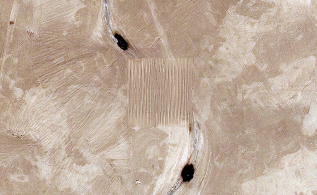
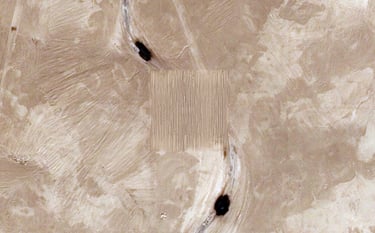
Traces of military activity during the Gulf War remain visible in the desert landscape of Kuwait in various places. At 29°46'11.5"N 47°26'53.6"E, left-overs of Saddam Road, which was constructed by Iraqi troops, are still visible. Using a GPS-guided bulldozer, a flat area in the shape of a perfect square of 100 by 100 metres is created, within which traces of the road are removed. Using a quintessential post-Gulf War technology, a monument is erected through which the remains of the disarray of warfare are overcome. An act of erasure to commemorate the unknown bodies that have disappeared under the sand.
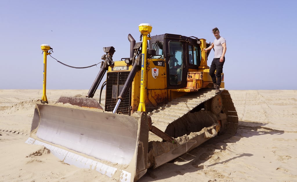
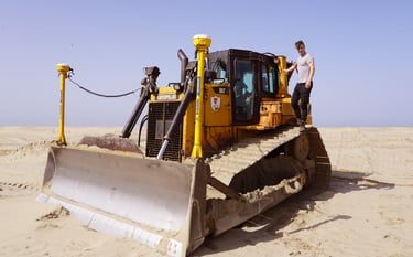
Dani Ploeger with a Caterpillar D6 GPS-controlled bulldozer
A Space War Monument at 29°46'11.5"N 47°26'53.6"E